fires
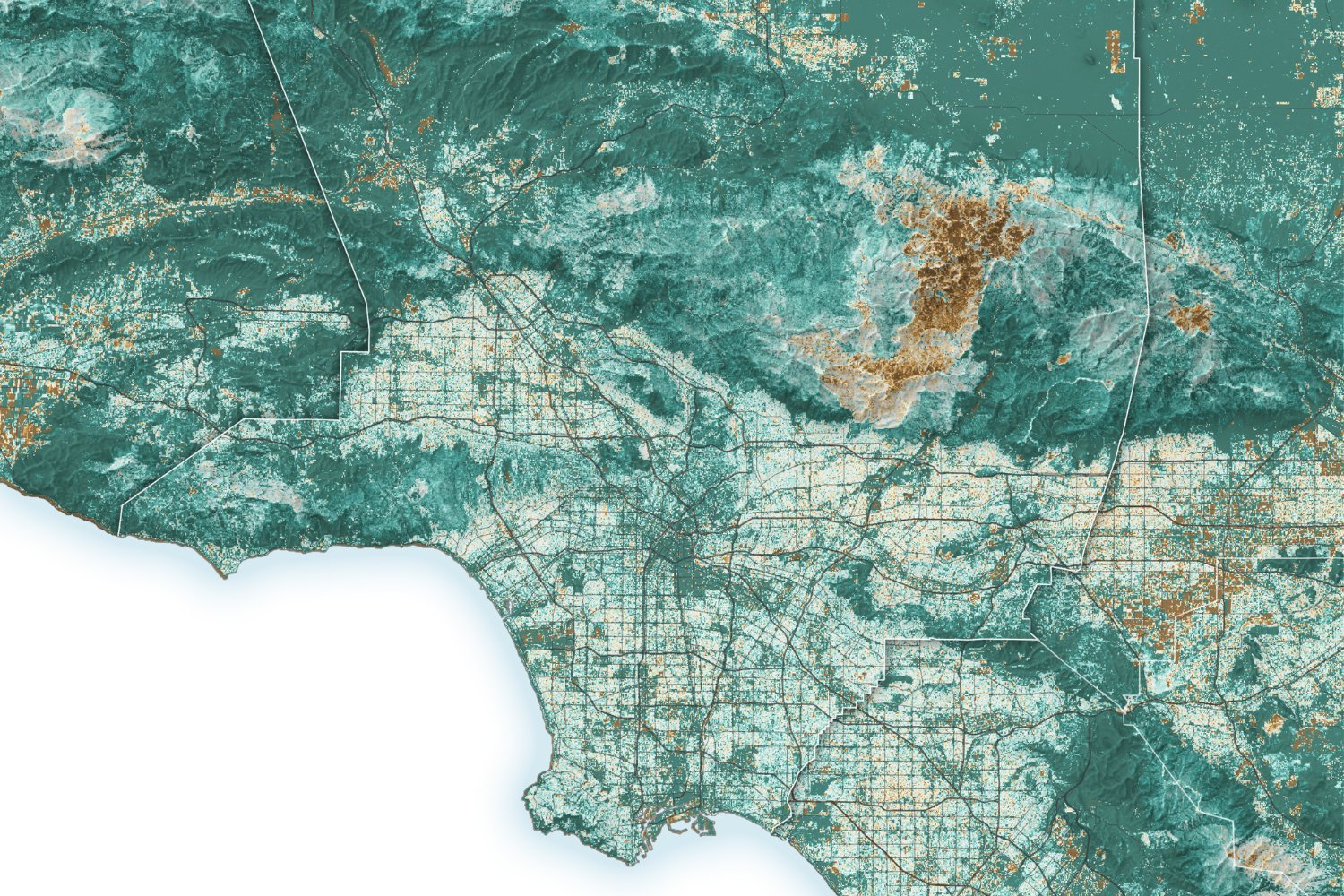
NASA Satellites Show How California’s Wildfire Crisis Was Years in the Making
Micheal
The Southern California wildfires continue to burn across Los Angeles County, and newly revealed satellite imagery shows how recent weather ...
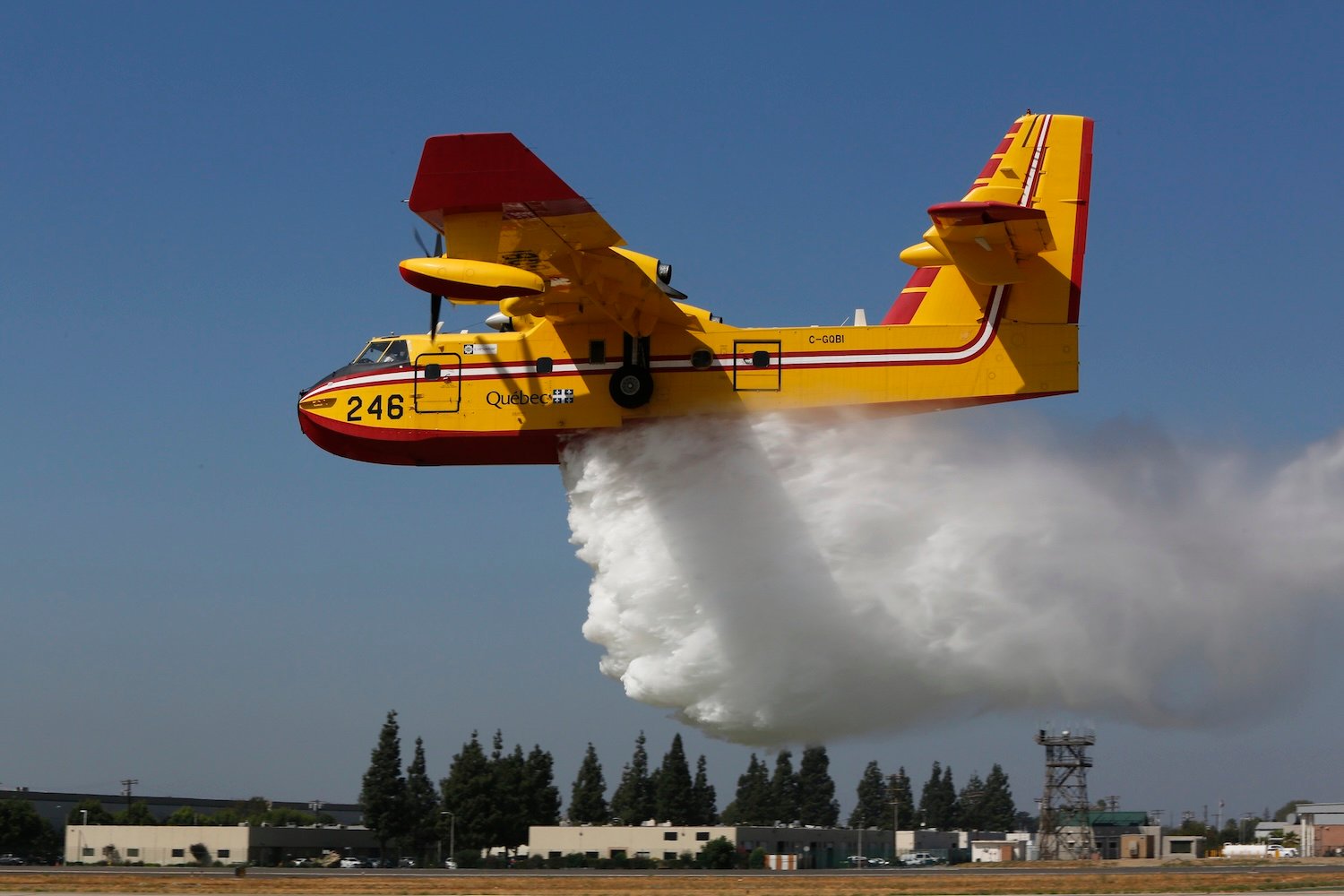
Firefighting Aircraft Collides With Some Idiot’s Drone Over Palisades Fire
Micheal
At this point, every drone hobbyist knows the rules that you don’t fly near aircraft responding to an emergency. But ...
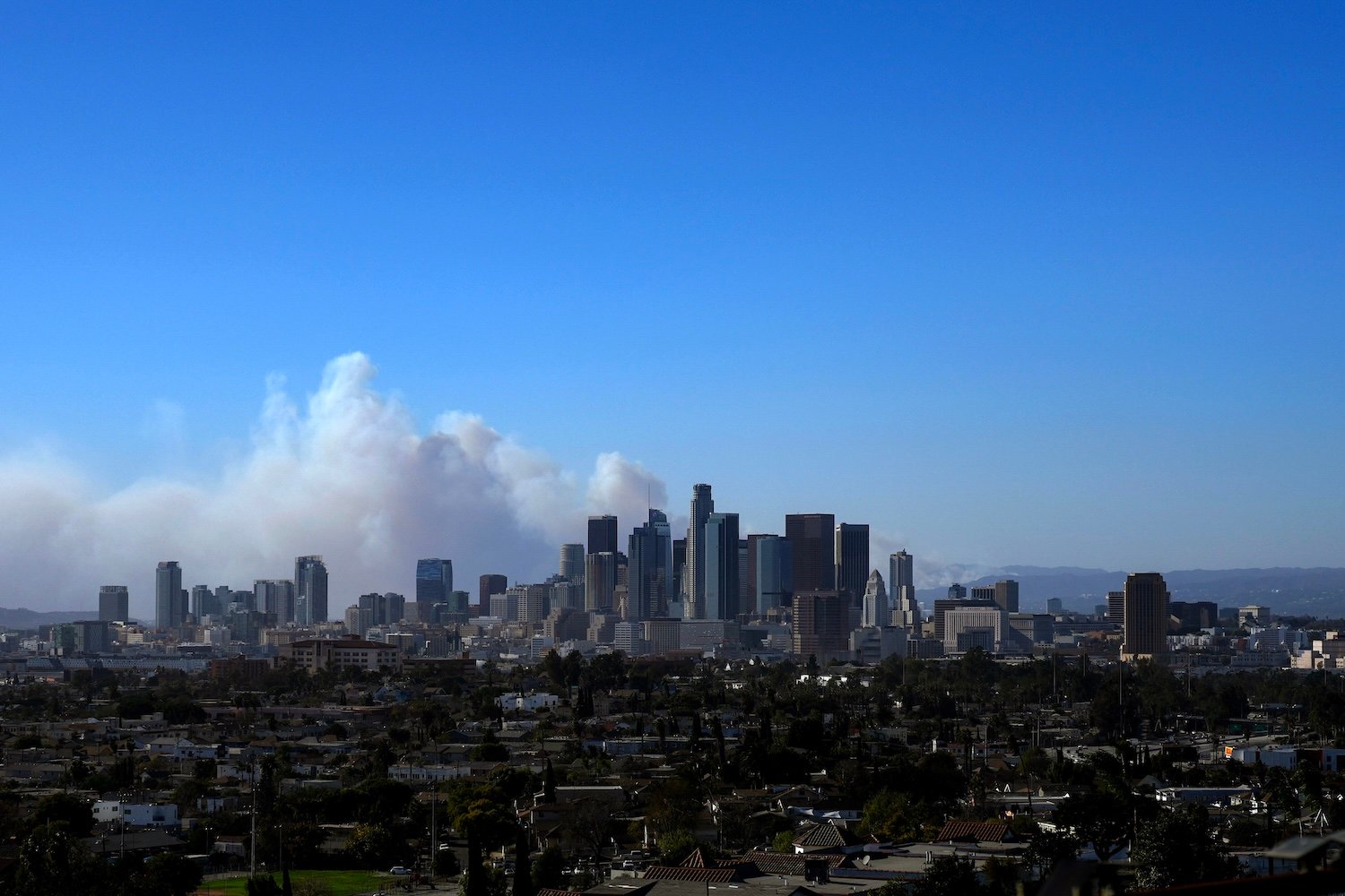
Thousands Evacuate in L.A. as Wildfires and Extreme Wind Hit Southern California
Micheal
Firefighters are currently battling at least two wildfires in Los Angeles during the first of what’s expected to be two ...